Examples
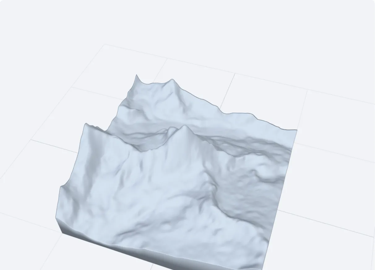 Matterhorn8 km square, 1.5× height, scale 1:80,000
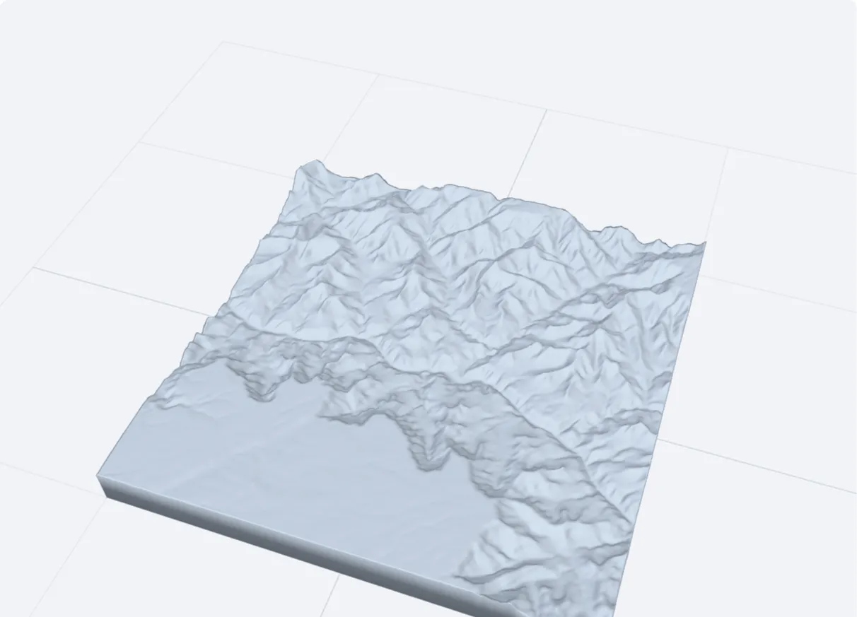 Grand Canyon20 km square, true heights
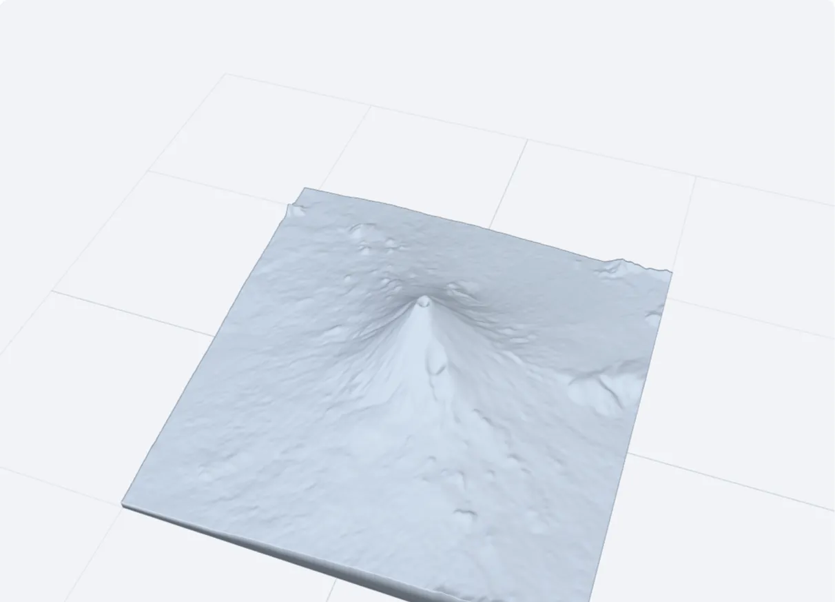 Mount Fuji24 km square, 2× height
These pictures are this tool's own preview, not photographs. Click one to open the tool with those settings. Printed something with it? Send a photo to hello@3dfiles.app and it can be shown here.
How to make a terrain model
- Choose a well-known place, or type the latitude and longitude of the centre of your area. In Google Maps, right-click a spot and click the coordinates to copy them; a pasted maps link works too.
- Set the side of the square area in kilometres and press Load this terrain.
- Set the width of the print, the base thickness and the height exaggeration.
- Download the STL. It prints flat on the bed without supports.
Height exaggeration
At true scale most landscapes look flat: a 2,000 m mountain on a model of a 40 km area is only 5 mm tall on a 100 mm print. Exaggeration multiplies the heights so the relief reads well. Around 1.5× suits high mountains; 2 to 3× suits hills and coastlines. The note under the buttons shows the true scale and the height range in metres.
Where the data comes from
Heights come from the Terrain Tiles open data set, which combines SRTM, GMTED, the US National Elevation Dataset, ETOPO1 and several national surveys. Resolution is about 30 m in most of the world and 10 m or better in the USA and parts of Europe. That is why a very small area (under 2 km) looks smooth: there is no finer data to show.
Your browser fetches the few image tiles that cover the area directly from that public server at Amazon. This is the one tool on the site that asks another server for data, and it happens only after you press the button. No file of yours is involved.
Printing tips
- 0.12 to 0.16 mm layers show the contour lines finely; 0.2 mm is fine for larger prints.
- Three top layers and 10 to 15 % infill are enough.
- For a framed map, print a 150 mm tile and leave the base at 2 mm.
- To print a long valley or a mountain range, make several neighbouring squares with the same area and exaggeration and glue them together.
Common questions
Can I print my own town or a hiking area?
Yes. Any coordinates work, from 85° south to 85° north. Buildings and trees are not included: the data is bare ground.
Why does the sea look flat?
With "Flat sea" ticked, everything below sea level is drawn at 0 m, which is what a coastline model usually needs. Untick it to include the sea floor where the data has it.
How accurate is it?
Heights are within a few metres of survey maps in most places. The model is for display, not for surveying or navigation.
May I sell prints of the terrain?
The underlying data sets are public or openly licensed, with attribution asked for some of them. Crediting "elevation data: Mapzen Terrain Tiles" covers it; see the data set page for the full list of sources.
Is it free?
Yes – 2 downloads a day are free, with no sign-up or watermark. Pro (free for 7 days) makes it unlimited.